Image Maps - Past, Present and Future
November 27, 2022
If you've ever browsed the web, you've probably seen interactive images on web pages. But have you ever wondered how they work? Or where they came from? In this blog post, we'll take a look at the history of interactive images on web pages, and we'll also explore some of the different ways that they can be used.
We will also take a look at some of the best tools and libraries for creating interactivity in images. These days you can find a variety of different tools to easily create a fully responsive image map, such as a wordpress plugin, drag and drop editor, a tool that allows you to draw polygon shapes, add SVG icons, and much more.
So if you’re interested in learning more about this topic, read on!
What is an image map?
An HTML image map is a list of coordinates that relates to a specific image. The coordinates designate hyperlinked areas on the image. When a user clicks on one of the designated areas, they are taken to the web page specified in the corresponding coordinate. Image maps provide an easy way of linking various parts of an image without dividing the image into separate files.
Brief history of image maps
HTML image maps have changed a lot over the years. They were first used as server-side tool, which sounds crazy today! Then they moved onto being client based, which was definitely a step forward.
Server-side interactive images
The first web browser to support interactive images was Mosaic in 1991. It allowed the client (your browser) and server to share information about where you clicked on an image, which could then be used to determine what content should be displayed.
The HTML code for this type of interactive image requires the image tag to have an “ismap” attribute and to be inside an anchor tag:
<a href="/imagemap"><img src="image.png" ismap /></a>Client-side interactive images
A Client-side interactive image became possible in HTML 3.2, and provide a great way to make your website more engaging without requiring any special logic on the server - it was fully client side. No JavaScript needed!
It consisted of two parts - an image tag with a usemap attribute, pointing to a map, and the map element itself.
The map could contain rectangles, polygon shapes, or circles. It had to be coded manually, it was nothing like a modern map plugin content builder:
<img src="image.png" alt="Website map" usemap="#mapname" />
<map name="mapname">
  <area shape="rect" coords="9,372,66,397" href="https://en.wikipedia.org/" alt="Wikipedia" title="Wikipedia" />
</map>
Use cases
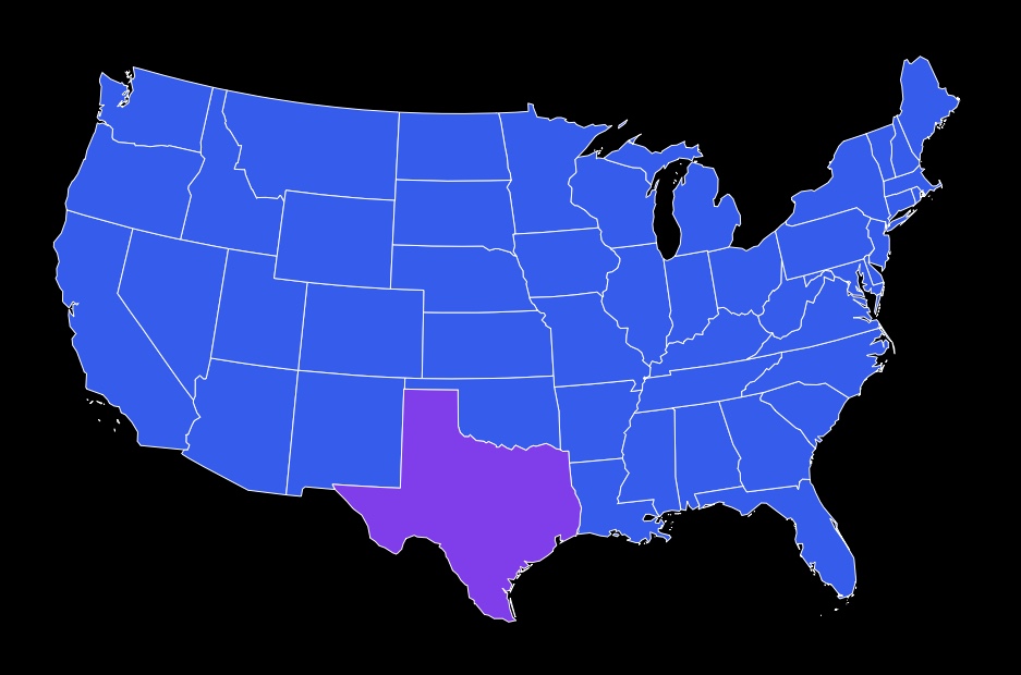
Map plugins allow users to zoom in and out of map images, as well as view specific locations in more detail. Another type of interactive image is an image gallery. Gallery plugins allow users to view a series of images one at a time, and often provide controls for zooming and navigation.
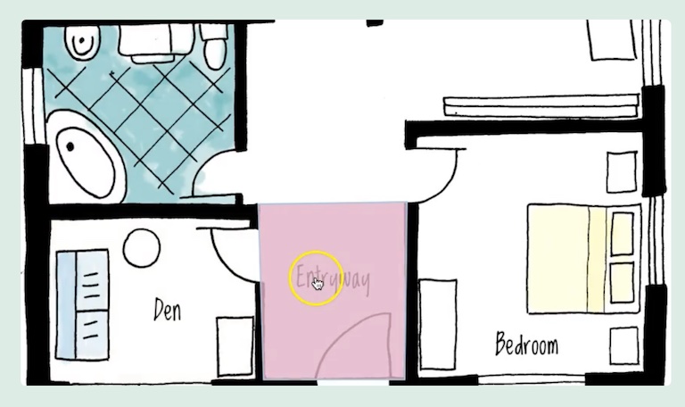
An image map can also be used for things like product demonstrations and step-by-step instructions. Or on a 3d rendering of a building with multiple floors, where each floor is clickable.
By definition, an interactive image is any image that allows users to engage with it in a way that goes beyond simply viewing the image. As such, the potential uses for interactive images are limited only by the imagination of the creator.
Modern tools
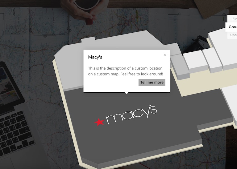
There are a number of popular tools available to help you build an image map. Some are feature rich, others less so, but most of them have an interactive content builder, which allows you to precisely place hotspots, features and custom shapes. Also, most have functionality to add highly customizable tooltips on the image map.
Here are a few of the most popular interactive image map builders:
Image Map Pro
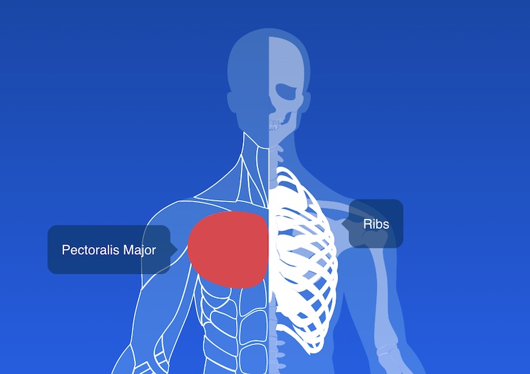
Image Map Pro has been around for 10 or so years. It’s packed with features like polygon vector shapes, drag and drop editor, SVG icons, custom styles and animations. You can get it as a WordPress plugin, or a standalone script.
While it features a powerful editor, it might be a bit much if you need a more simplistic image map.
MapSVG
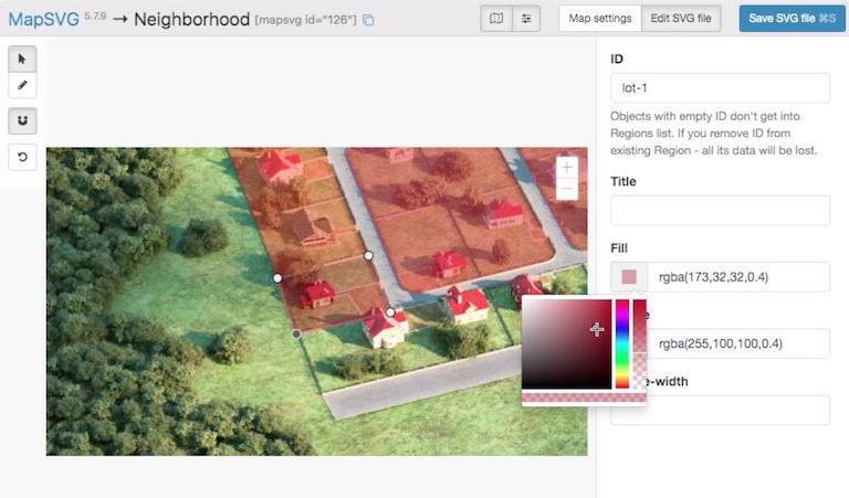
While the editor of MapSVG is not nearly as powerful as ImageMap Pro, it does provide functionality to draw a custom map or floor plan in a desktop program like Sketch or Illustrator and make it dynamic.
DrawAttention
Decent functionality, but a bit pricey at $99 for a single image map. It has a set of features that you would expect from a product like this, but its editor UI is very outdated. You can draw custom shapes like polygons and place tooltips.
Mapplic
The future of image maps
The future of something that has been around for 30 years can be exciting! What we are currently working on will leave your head spinning with innovation - it’s a map builder, but wait until you see how special this one feature is: using AI to make clickable regions on images automatically!
You can try a demo on our homepage using your own image, and if you like it - make sure you subscribe with your email and follow us on twitter for updates.
Conclusion
That’s all for now on image maps. We hope you found this post informative and that it will help you out in your future endeavours. If you have any questions or want to learn more about image maps, be sure to follow us on Twitter where we regularly post articles about AI and web development, and subscribe to our newsletter so you can stay up-to-date with all the latest happenings in the world of mapping images!